
HOW AN AWARD, A RIVER AND A THOUSANDS SMARTPHONES TAUGHT US THE TRUE (FUTURE) POWER OF CROWDSENSING
Welcome to SMART CITY KISS, my slightly self-ironic attempt to tell the truth about smart cities.
We’ve spent years wandering like digital hobbits through vendor forests, “semantic mountains”, pilot projects that never scaled, and dashboards that preferred to show errors instead of data.
We learned a lot, forgot some of it, stayed stubborn on a few things… and now we’re sharing everything without the usual smart-city bullshit.
KISS means Keep It S… (Smart? Super? Stupid? You choose...) Simple.
Translation for city leaders: If a smart-city project needs a wizard, five consultants, and half of your municipal staff, it’s not smart.
This series is about what actually works: Small. Simple. Practical. Meaningful.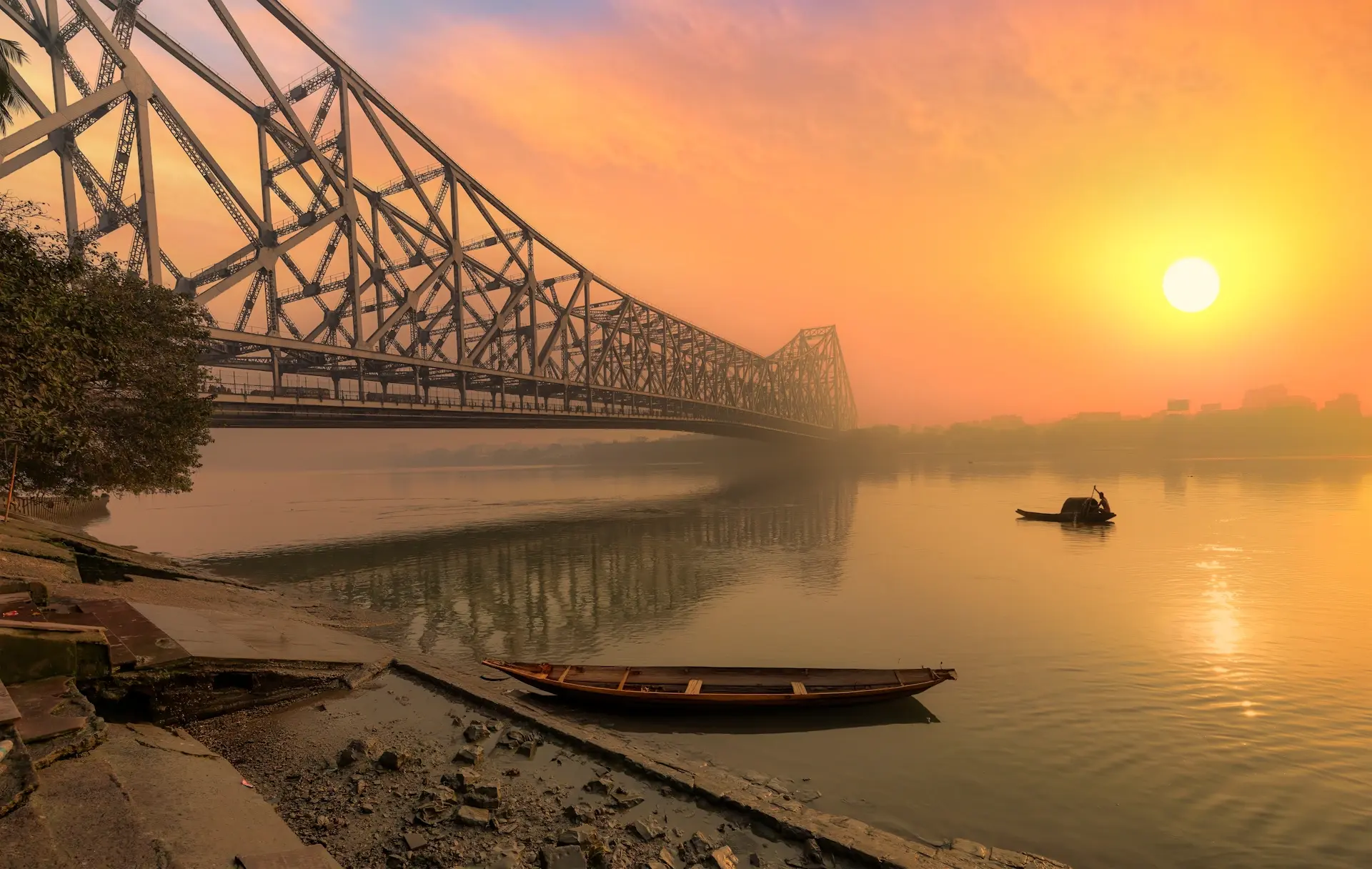
Many years ago, before digital twins and NGSI-LD became fashionable, our company SenLab received unexpected news: we were selected as one of the 100 most promising IoT, environmental and cleantech innovations in a major international government innovation programme. The country was HUGE, full of potential, and dealing with environmental challenges that were anything but theoretical.
Our proposal was bold: create a crowdsensing system to help communities living along a massive, unpredictable river. The river regularly changed its course based on weather, floods and seasonal shifts. People lost crops, tools, machines and even livestock simply because the river quietly moved a few dozen meters overnight or even in a few hours. If they failed to relocate in time, their equipment ended up underwater and had to be recovered by diving.
Basically: MOVE OR DIVE!
This was “high impact IoT” in its purest form: the difference between saved and lost livelihoods.
We proposed something that sounded impossible at the time:
monitor the river’s behavior using only the smartphones people already had.
Why? Because there was no wireless coverage along most of the river. No 2G, no 3G, no WiFi, nothing. You could install a thousand sensors, and they would happily measure everything while being completely unable to send any data.
"But there is no mobile signal there!"
"We know, but we still can do it in a limited way"
But people had smartphones. Simple, cheap, sometimes old, but still packed with GPS, accelerometers, cameras, microphones, storage and enough processing power to capture meaningful environmental information. And sooner or later, people always returned to their villages, where mobile signal was available again.
So our concept was straightforward and surprisingly elegant:
- citizens use their phones to record environmental snapshots,
- they take photos or short videos of the riverbank,
- they measure, annotate and fill a simple form,
- the phone stores everything offline,
- once they return to coverage, all data syncs automatically,
- the backend combines it with satellite imagery and weather models,
- the system generates alerts, warnings and trend reports for local communities.
A KISS solution for a very non-KISS problem.
The idea was well received. Meetings followed, presentations followed, flights followed. We spoke to ministries, agencies, universities, innovation councils. Everyone agreed the concept was simple, out-of-the-box, powerful, scalable and life-changing for rural communities. They liked the idea that the solution required no expensive equipment and no communication towers. A smartphone, a backend and help from the local population - that was it.
DID WE SAVE THE WORLD?
No, not quite.
Between our ambition and the final implementation stood the usual suspects: administrative complexity, multi-level bureaucracy, slow procurement processes, changing priorities and the simple reality that a small European company cannot endlessly fund international travel, pilots and on-site activities without guaranteed support. It was too early. We were too small. The bureaucracy was too big.
But the idea stayed.
It shaped how we think about crowdsensing today. It taught us that people are already carrying incredibly powerful measurement tools, and that their contribution can be essential when traditional infrastructure fails or does not exist. It also proved that offline-first, consent-based, citizen-driven data collection is not just possible - it is sometimes the only feasible option.
People already carry incredibly capable sensing devices. Crowdsensing is often the only realistic way to measure what traditional infrastructure cannot.
And this is where our CROWDSENSING story begins.
WHAT IS CROWDSENSING?
Crowdsensing is the collection of anonymised, voluntary, task-specific data from people’s smartphones.
Every smartphone today includes:
- GPS,
- accelerometer,
- gyroscope,
- magnetometer,
- microphone,
- camera,
- storage,
- Bluetooth,
- network connectivity.
And most importantly: people carry them everywhere.
Crowdsensing means using these existing capabilities to understand what is happening in the real world:
- how people move,
- how the environment changes,
- how streets feel,
- how infrastructure behaves,
- how communities experience their surroundings.
The key is simplicity: no new hardware, no complicated installations, no maintenance nightmares.
WHY SHOULD CITIES AND ORGANISATIONS CARE?
Because crowdsensing provides insights that traditional systems cannot.
Crowdsensing enables:
- coverage in places without sensors,
- real street-level granularity,
- flexibility for short campaigns or long-term monitoring,
- low-cost deployment,
- fast results (you can start in hours, not months),
- data that fixed sensors cannot provide, like photos, videos or descriptive forms,
- community engagement and transparency.
It is especially valuable when:
- infrastructure is too expensive,
- signal coverage is weak or inconsistent,
- environmental conditions change rapidly,
- human interpretation is needed (accessibility, safety, comfort),
- temporary events require rapid observations.
Crowdsensing complements existing systems, and in many cases, becomes the only realistic data source.
HOW CROWDSENSING WORKS AT A HIGH LEVEL
Most crowdsensing projects follow the same simple pattern:
-
Define a problem / mission
Example: “Map noise near schools during the morning rush.” -
Participants collect data with their phones
They walk, cycle, drive or observe, depending on the mission. -
Their phones store data
This can include sensor readings, photos, videos or short notes. -
Data uploads automatically
When connected to the internet (real-time or batch). -
The backend aggregates and analyses everything
Trends, alerts, heatmaps, comparisons, timelines. -
Insights are shared
Reports, dashboards, early warnings, recommendations.
Crowdsensing is essentially a low-cost, flexible way to deploy a temporary or permanent sensor network without physically installing anything.
USE CASES THAT PROVE CROWDSENSING IS NOT A GIMMICK
Crowdsensing is already used worldwide in research, mobility planning, conservation, public safety, environmental monitoring and even disaster response. Here are some realistic scenarios.
MOBILITY & TRANSPORTATION
- Cyclist comfort mapping: vibration from phone sensors shows where bike lanes are rough or unsafe.
- Pedestrian flow understanding: GPS tracks reveal how people move during events or peak hours.
- Public transport crowding: Bluetooth scans detect density inside vehicles without cameras.
ENVIRONMENT & CLIMATE
- Noise mapping: microphones measure how loud certain streets actually are.
- Heat island detection: temperature drift from phones detects hot zones during heatwaves.
- Air quality estimation: when combined with small BLE sensors, citizens can map pollutant hotspots.
INFRASTRUCTURE & OPERATIONS
- Road quality detection: accelerometer data identifies potholes or broken asphalt.
- Waste overflow reporting: citizens snap photos of full containers.
- Flood and river monitoring: as in our own award-winning project concept, combining observations with satellite and weather information.
SAFETY & COMMUNITY FEEDBACK
- Low-light or unsafe area reporting: users combine photos with location.
- Incident reports: quick forms plus media create reliable context.
- Event management: real-time or post-event analysis of how crowds moved.
ACCESSIBILITY & SOCIAL INSIGHTS
- Wheelchair accessibility mapping: users report ramps, obstacles and pathway quality.
- Urban greenery health: photos and notes help monitor trees or parks.
This is only a fraction of what crowdsensing makes possible. If people can observe it, phones can measure it.
WHY CROWDSENSING SUCCEEDS WHEN CLASSICAL IOT FAILS
Because IoT deployments depend on:
- budget,
- infrastructure,
- signal coverage,
- maintenance,
- procurement,
- installation permissions,
- vandalism protection,
- electricity,
- weatherproofing.
Crowdsensing depends on:
- people carrying phones,
- simple instructions and some forms,
- a backend that can collect and process data.
In remote areas, developing regions, temporary events or rapidly changing environments, crowdsensing is often the only approach that works.
It is also a perfect starting point for cities or organisations that want fast, affordable insights before deciding where to invest in fixed infrastructure.
THE KISS PRINCIPLE AND THE FUTURE OF CROWDSENSING
Crowdsensing is the pure definition of KISS:
- Use what already exists.
- Deploy fast.
- Pay little.
- Learn a lot.
- Adjust quickly.
There is no heavy hardware, no communication towers, no six-month procurement cycles, no field maintenance. A small app with form, some sensors readings, connected to backend like FIWAREBox.
Crowdsensing is not a replacement for professional sensors. But it fills the gaps, accelerates decisions and brings citizens into the process.
It is the world’s most distributed, adaptable, scalable sensor network.
And you already own it.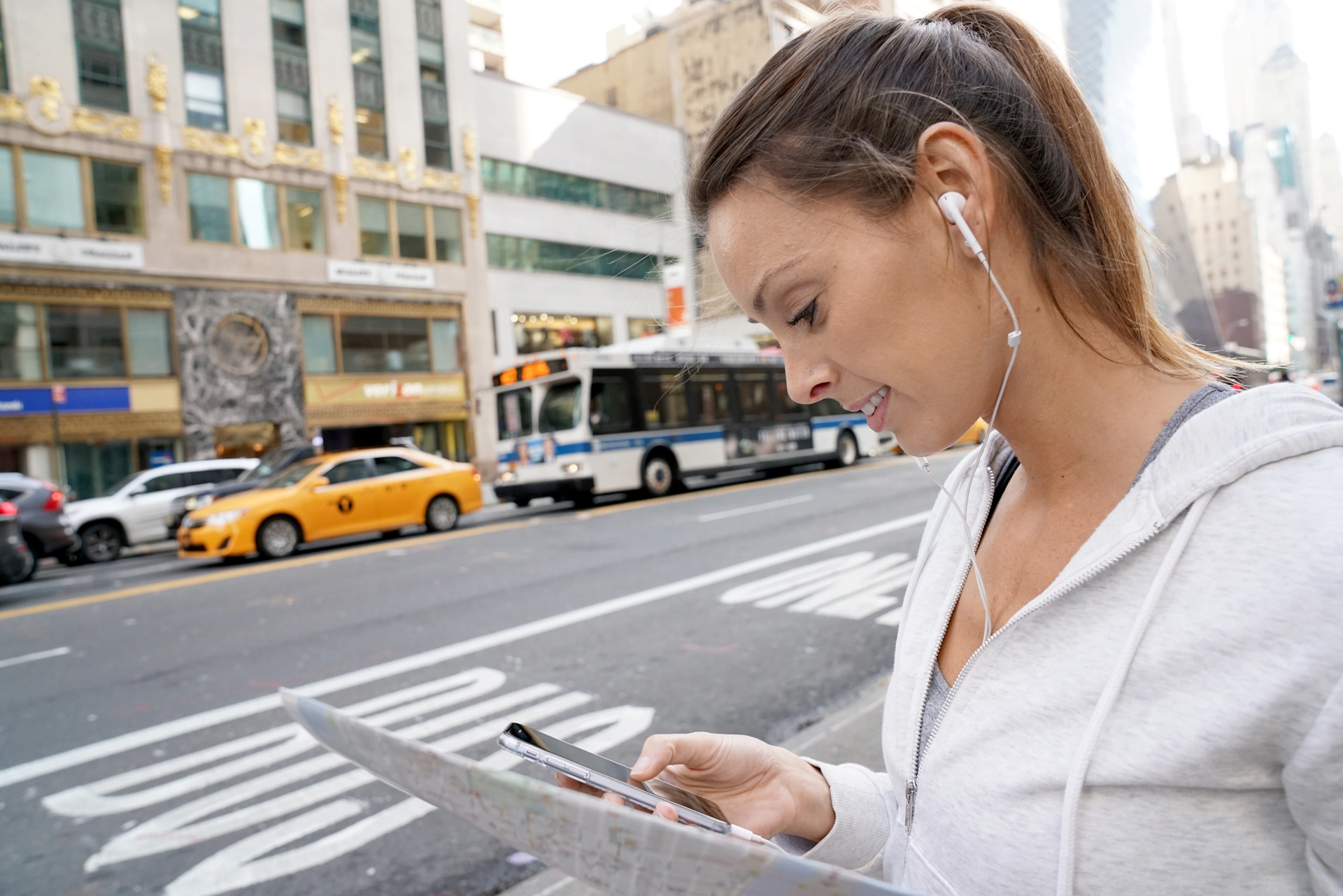
NEXT
In the next article, we will shift from theory to practice and show:
- how smartphone apps collect data,
- how offline-first (if needed) data gathering works,
- how to synchronise measurements from remote areas,
- how to process and visualise the results,
- and how a pilot can be launched in days, not months.
Crowdsensing is not a futuristic concept.
It is a practical tool that cities, organisations and communities can use today.
DISAGREE, COMMENT, OR WISH TO KNOW MORE?